Feeds:
Posts
Comments

Archive for the ‘Uncategorized’ Category

Day 57


Ride Stats:
Distance: 77.43 miles
Average Speed: 11.7 mph
Max Speed: 29.7 mph
Time: 6:34’20

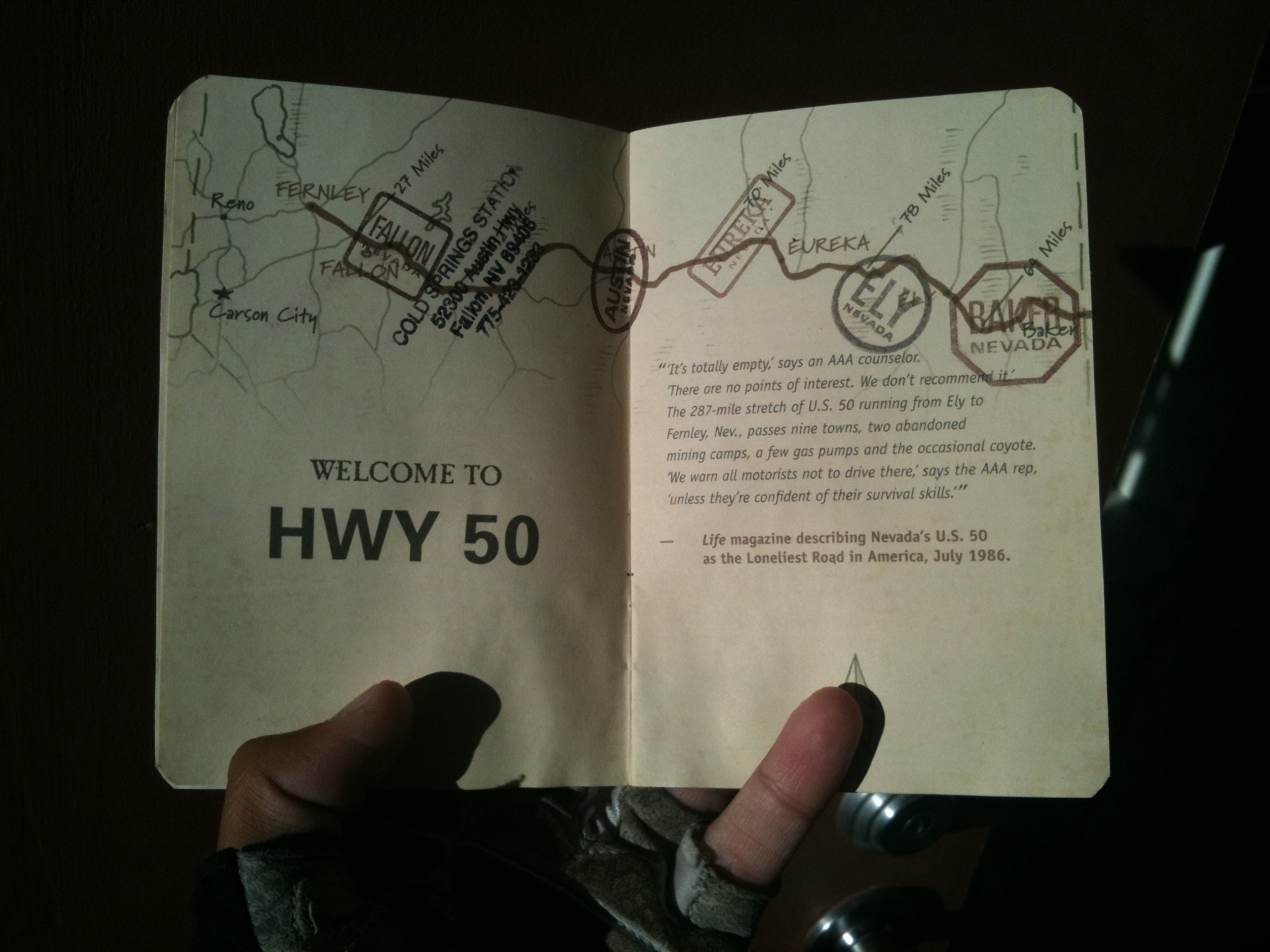
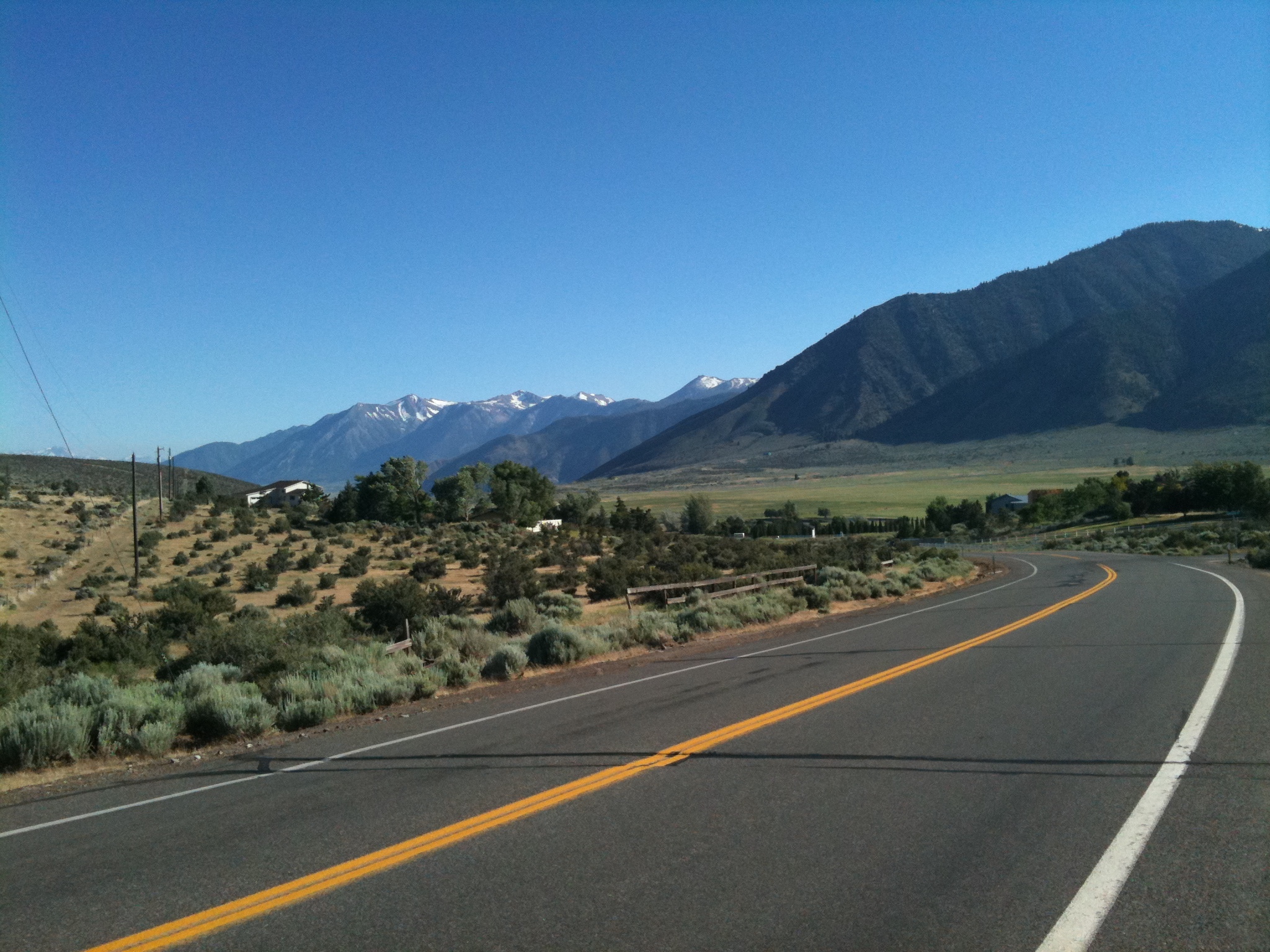
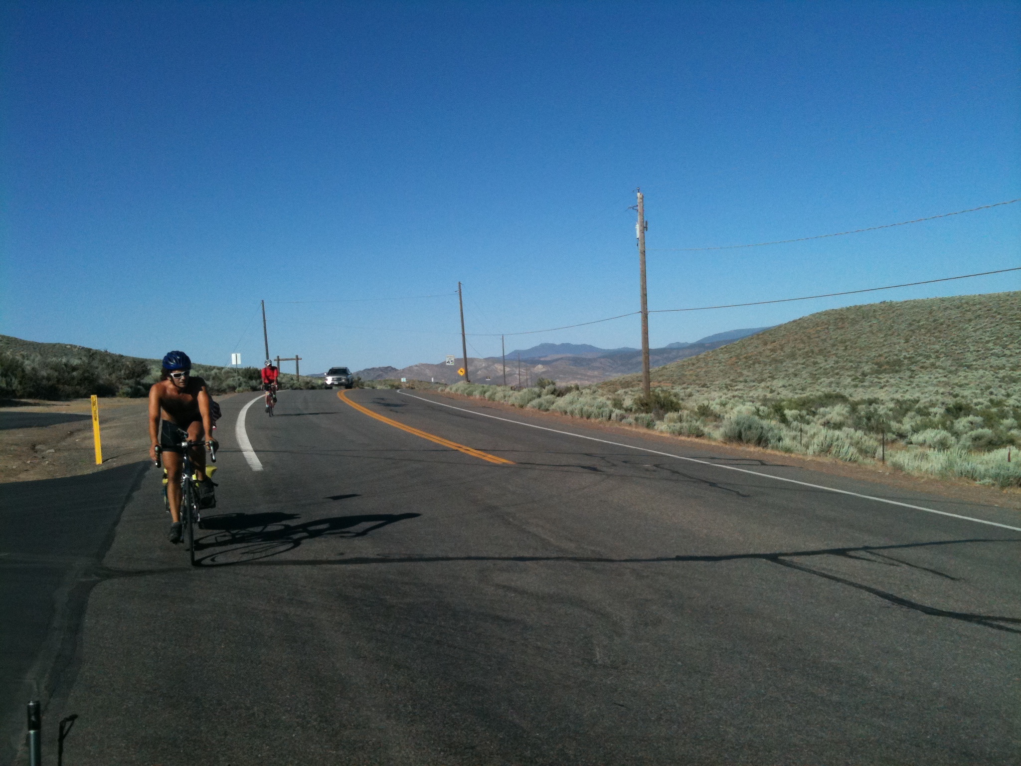
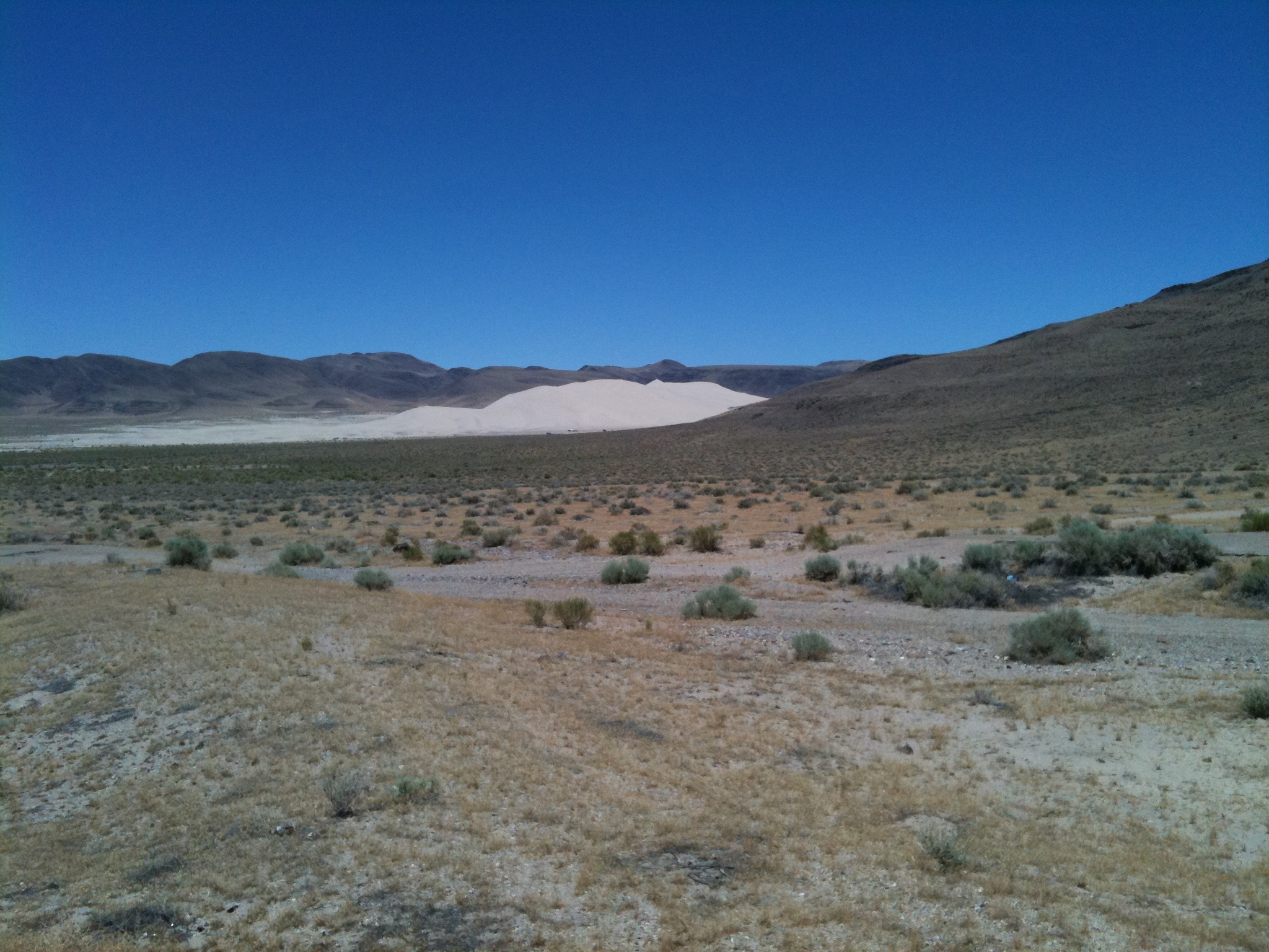
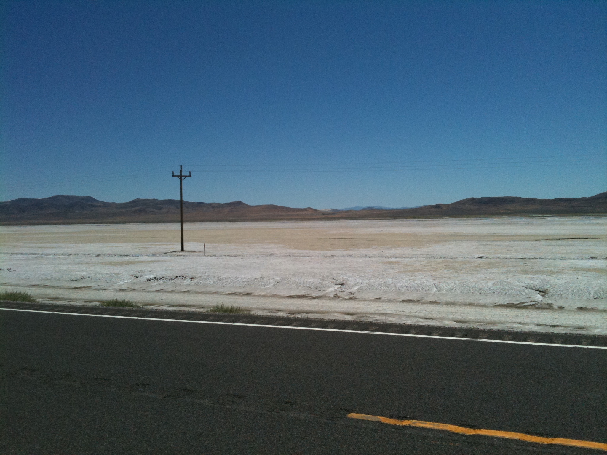
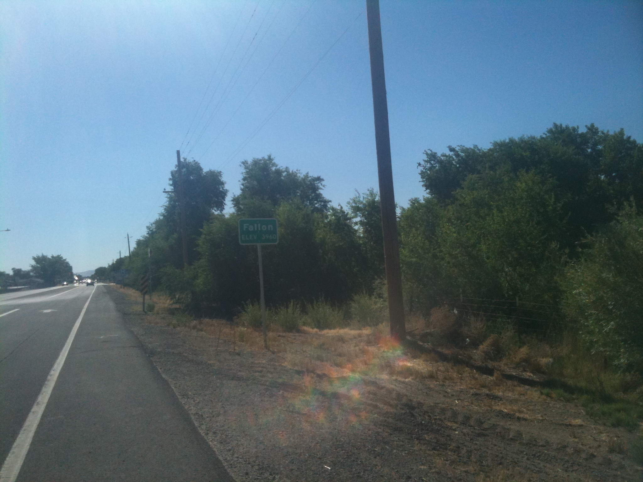
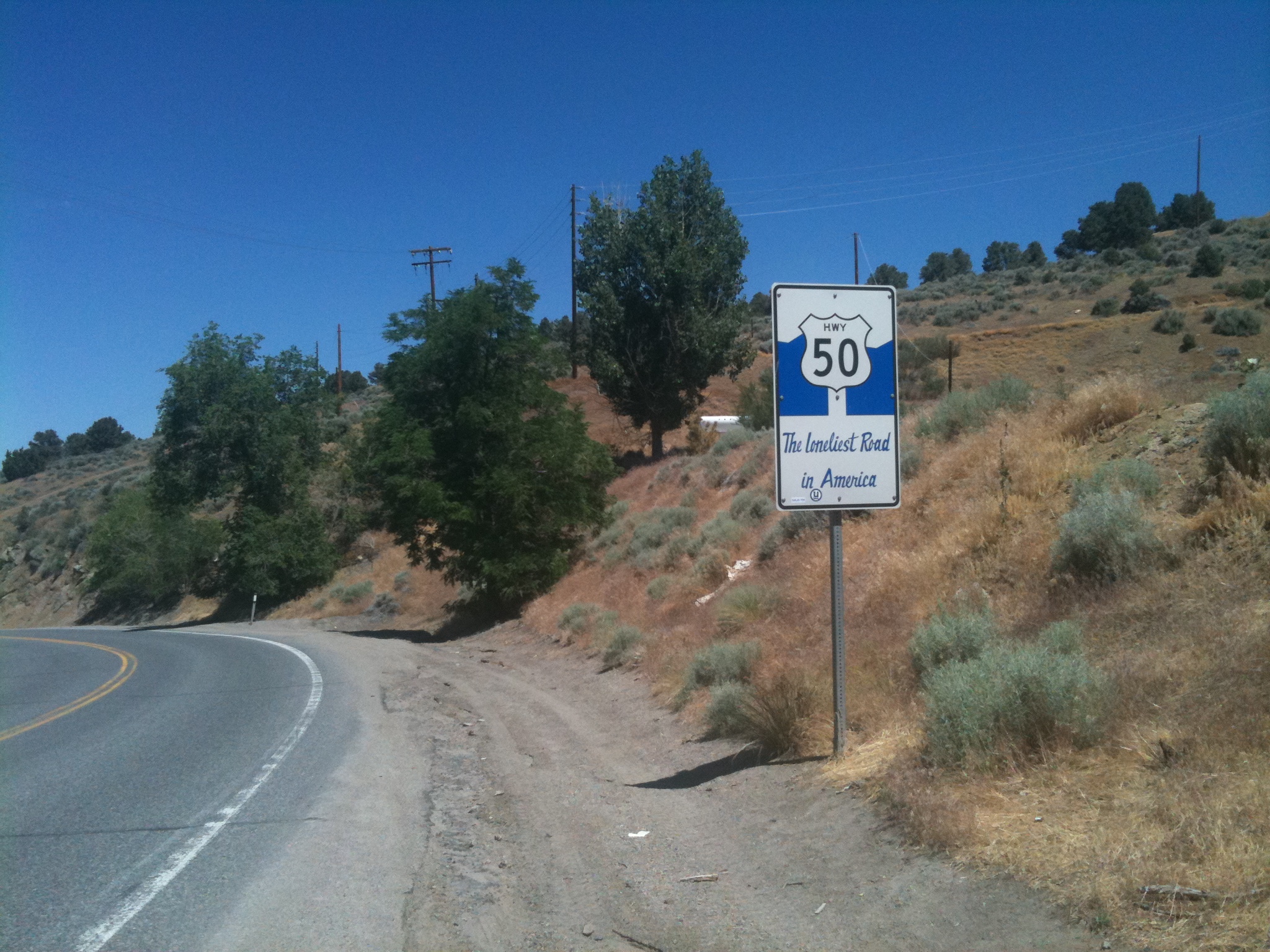
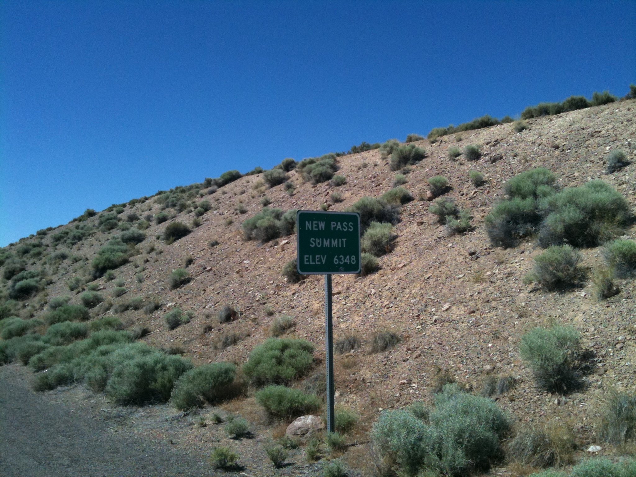
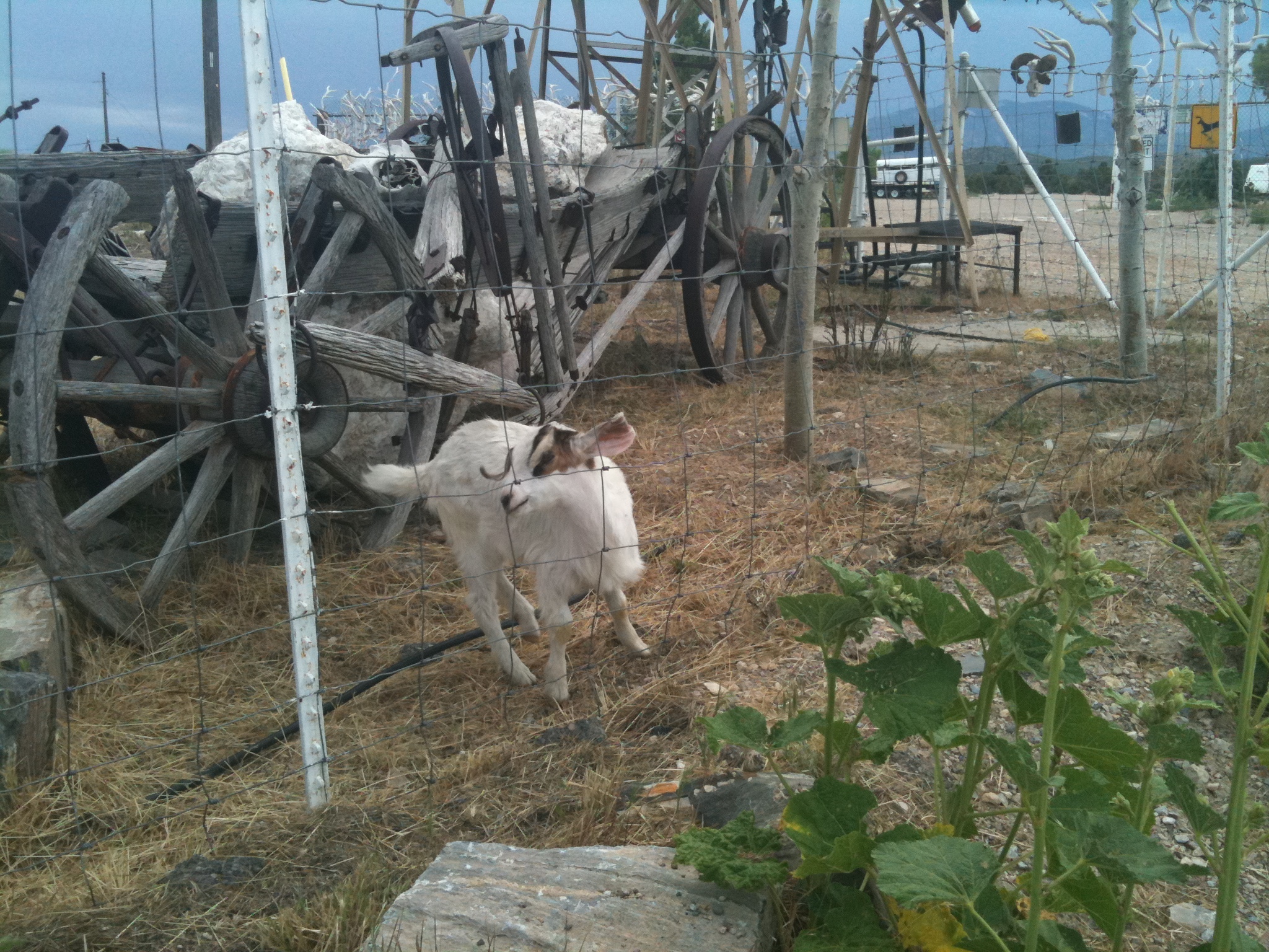
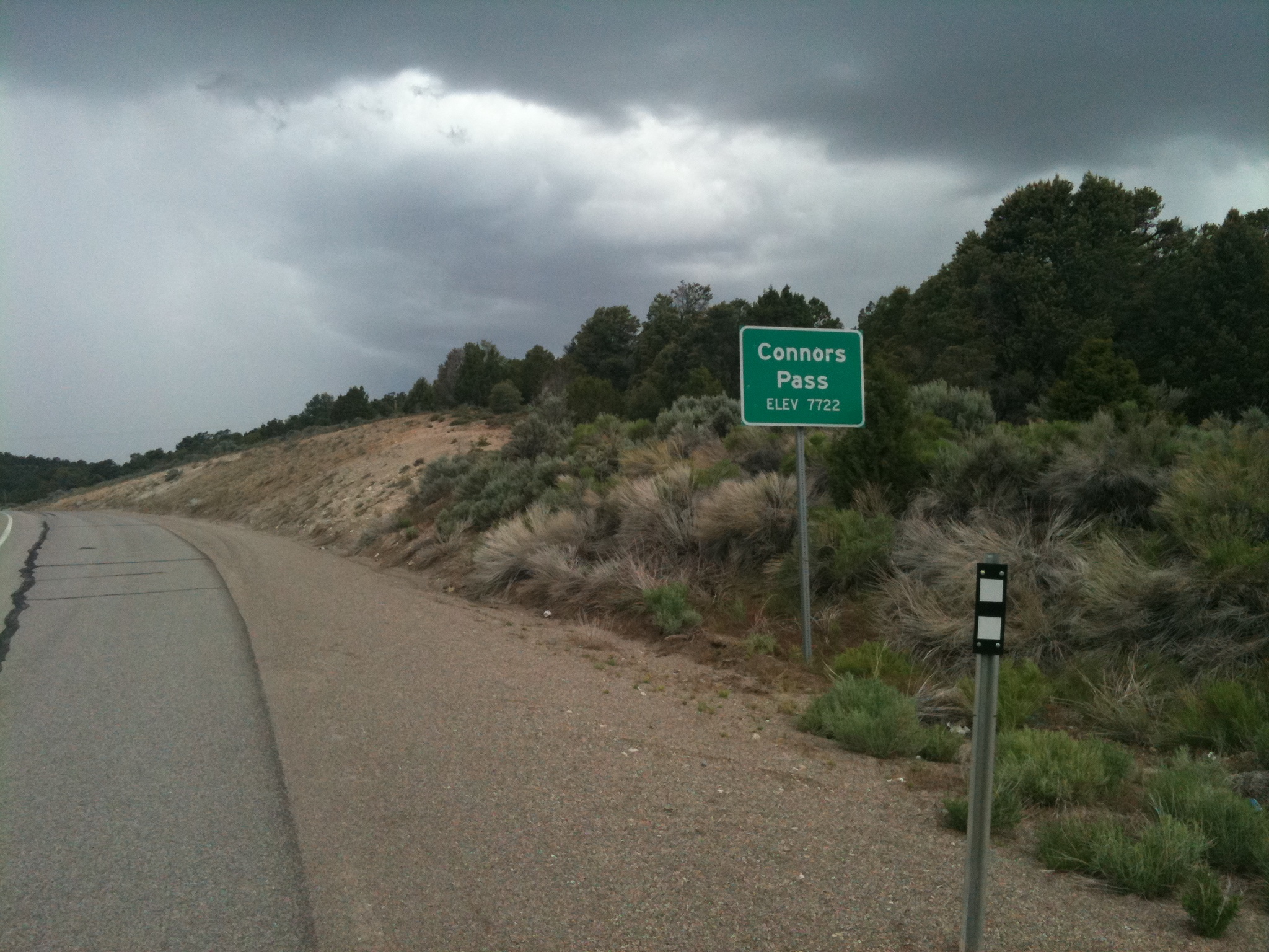
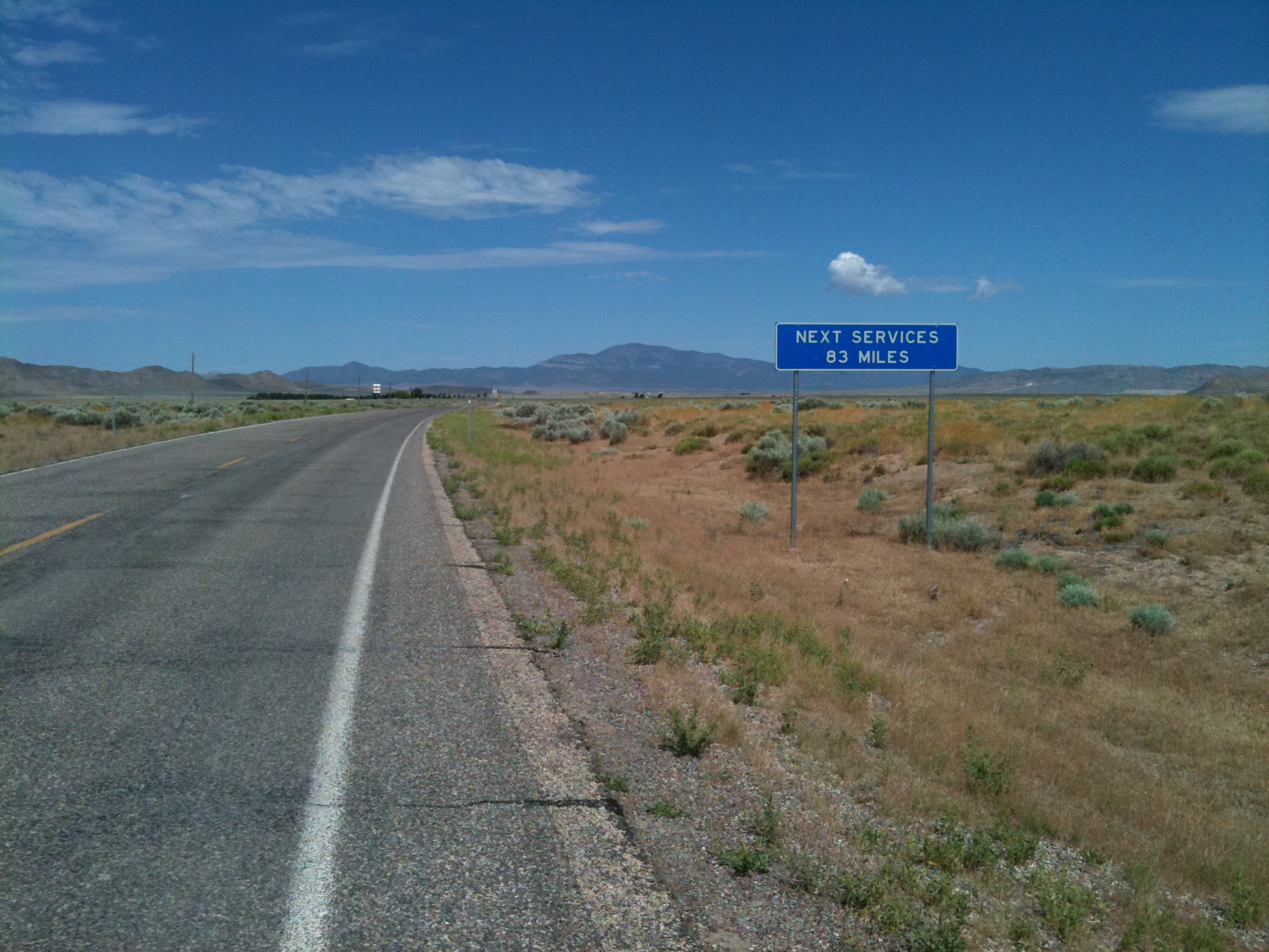
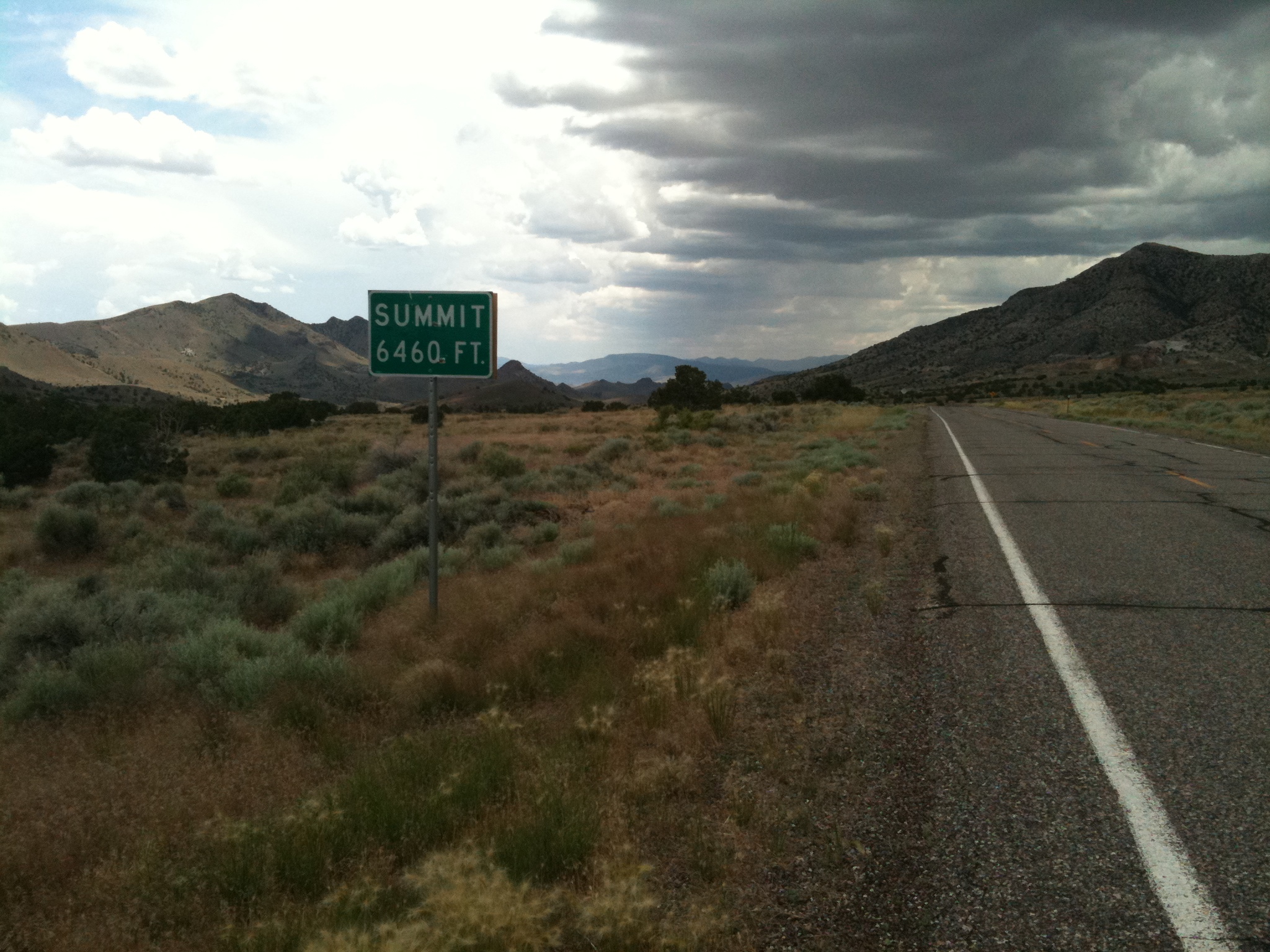
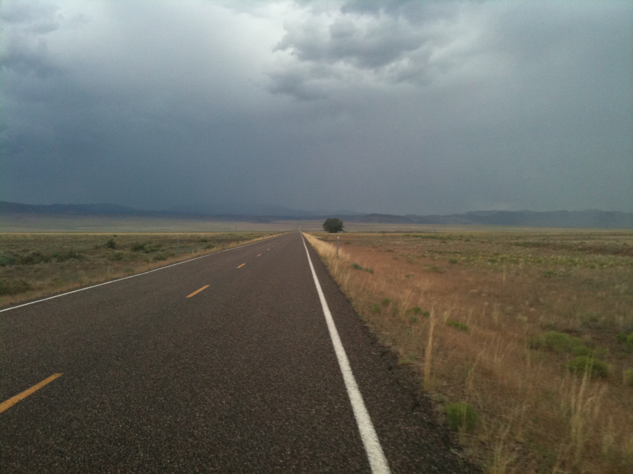
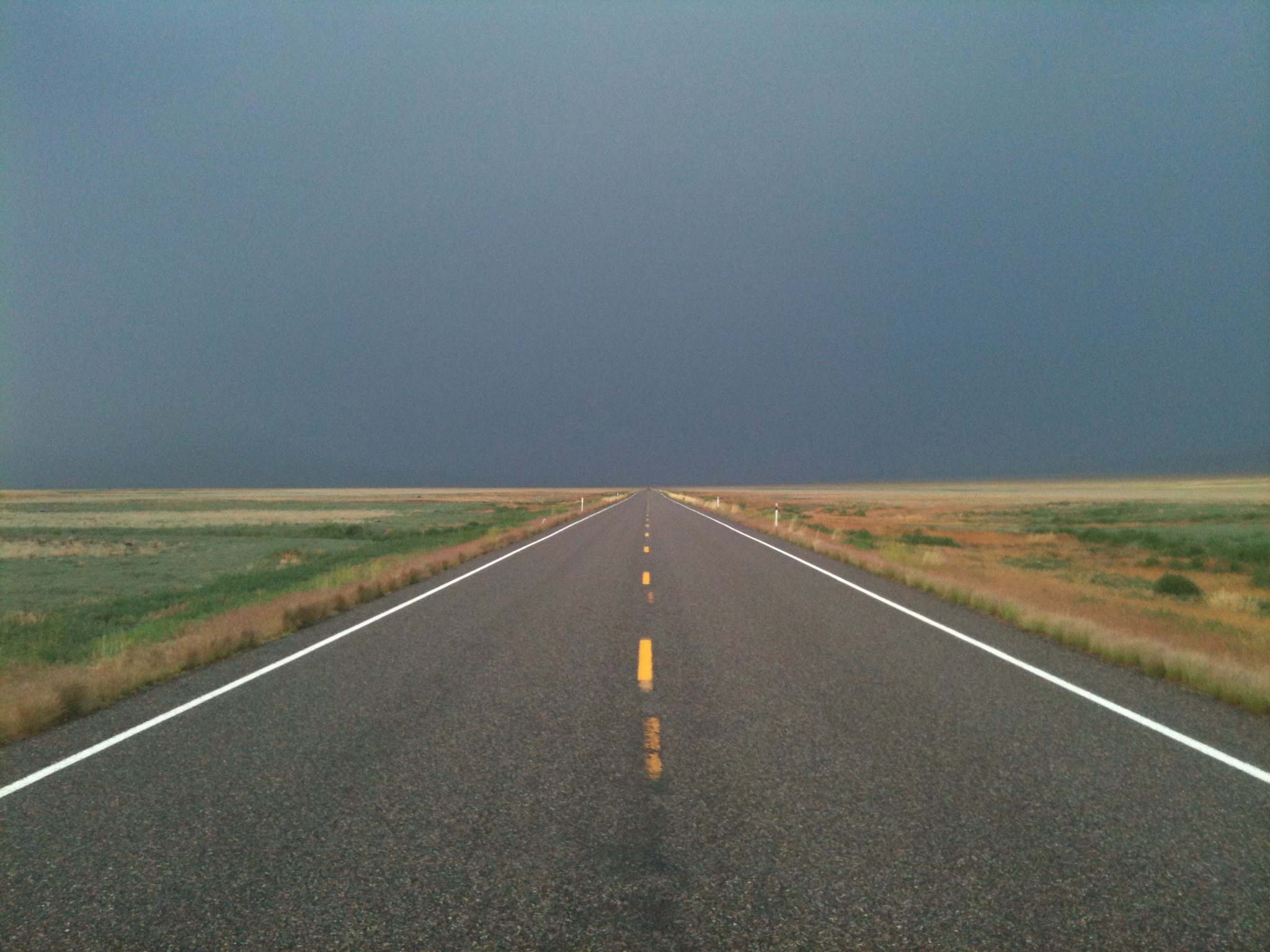
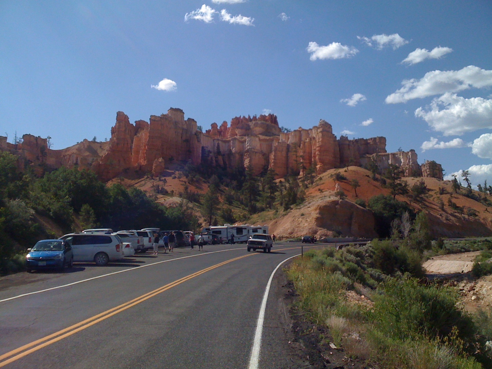
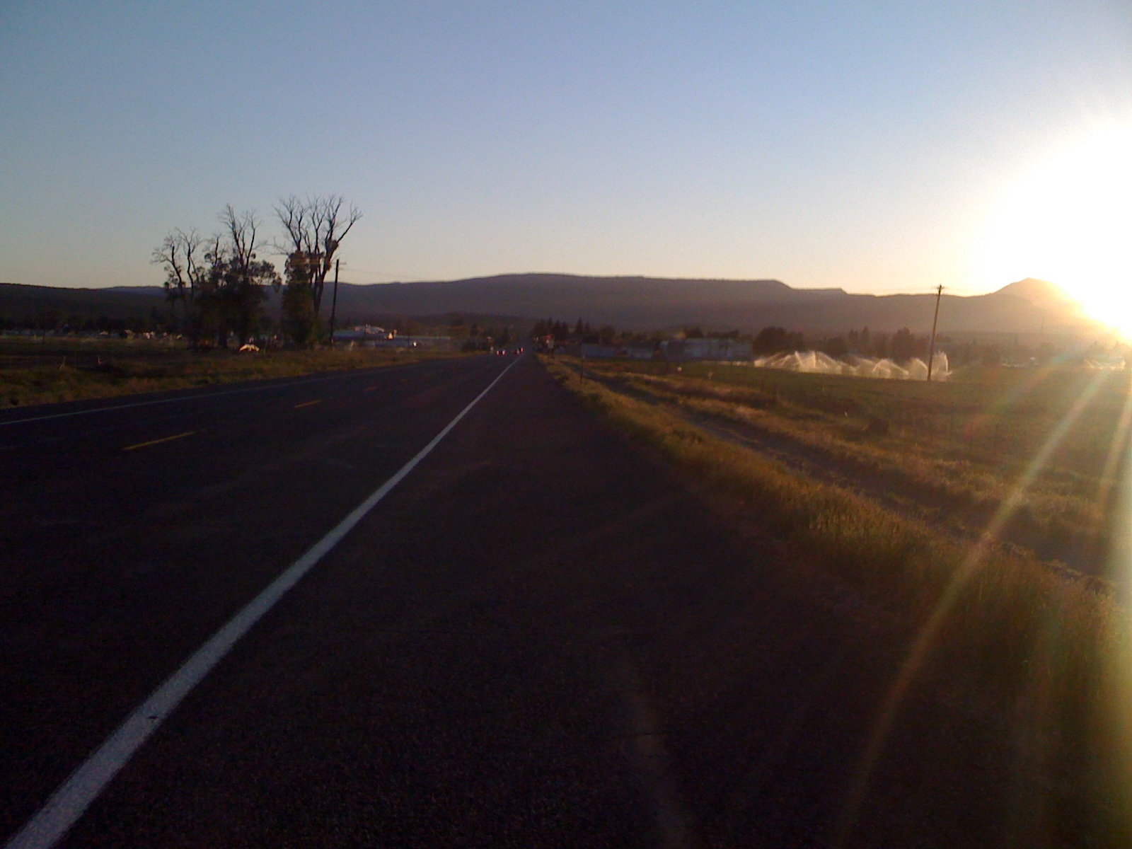
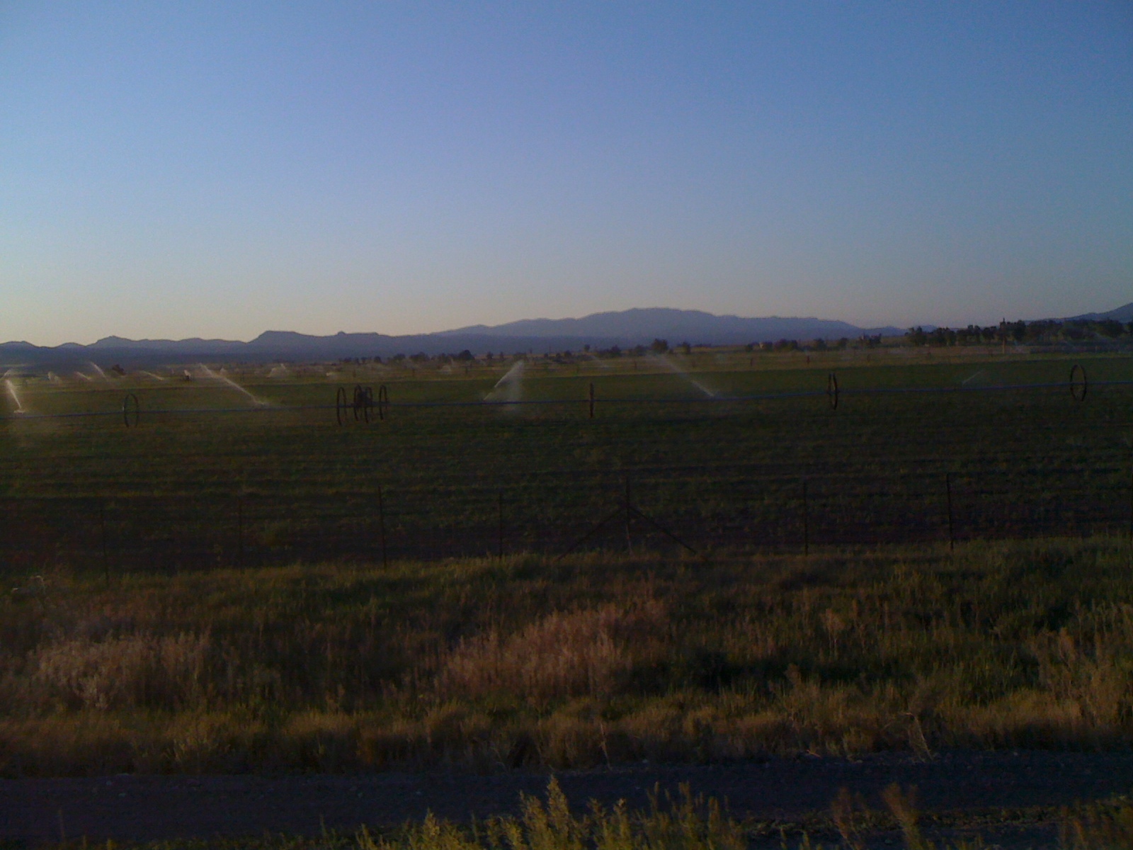
The nightride was a catastrophe. We woke up with sun. On a brighter note, it was early enough for a normal day’s ride. We made our way out of Fallon and continued on Highway 50. The final portion of the desert started to get a bit more green. The stretch to Dayton, NV opened up 4 lanes and city traffic.

Dayton became our lunch stop. Mikey grabbed a deli sandwich in a Smith’s grocery store and I opted for a grilled onion cheeseburger at Jack In The Box.

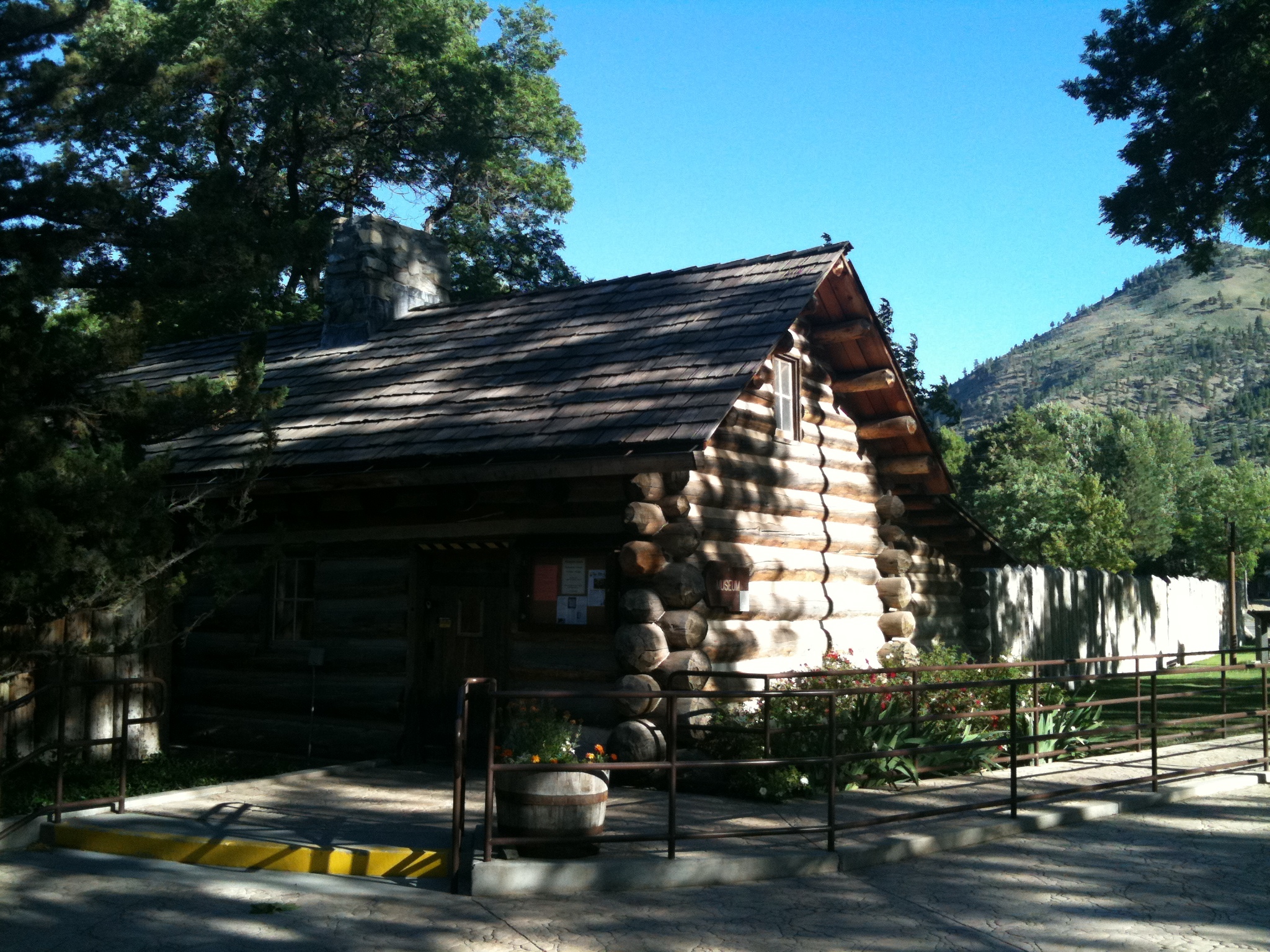
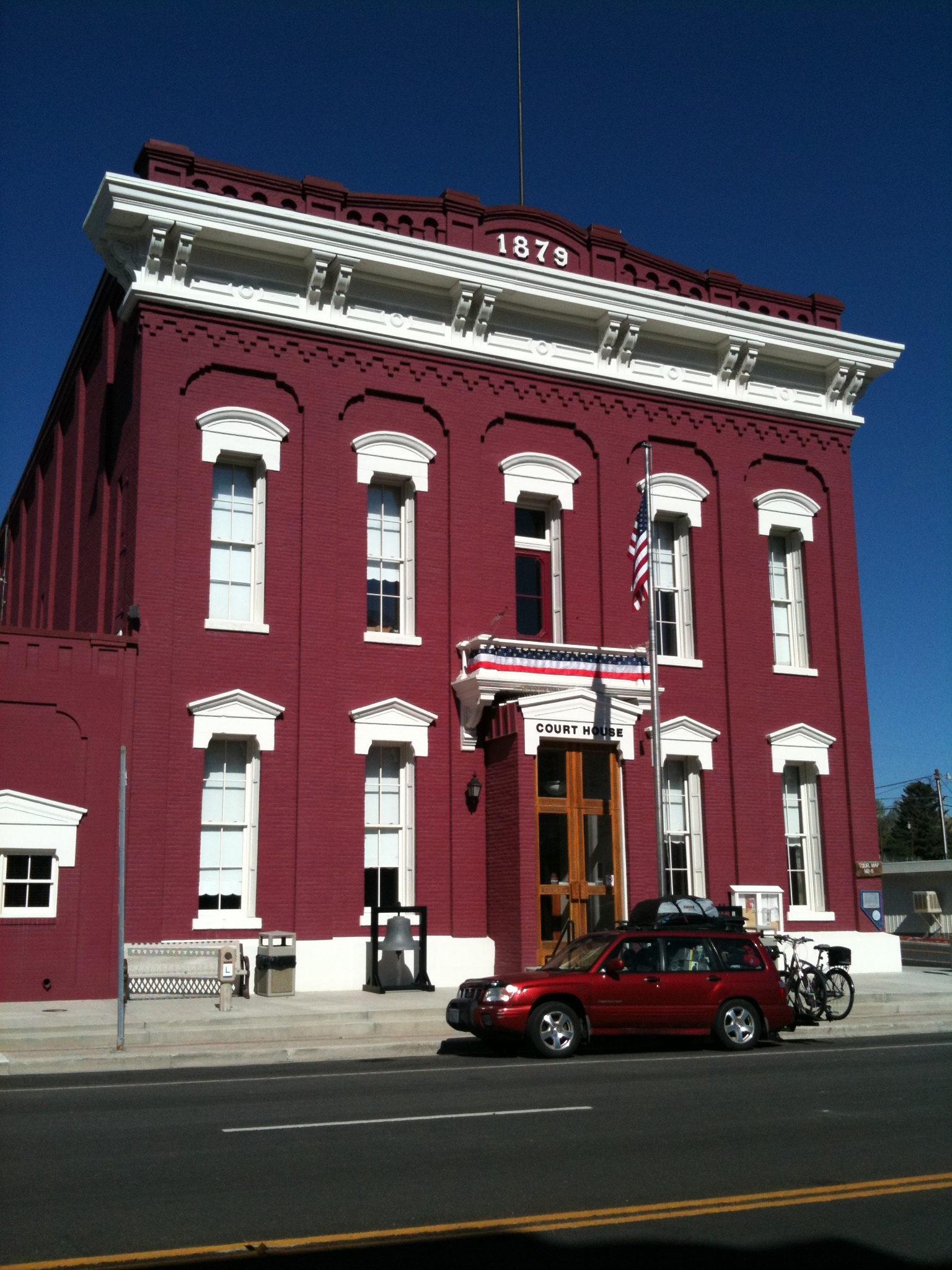
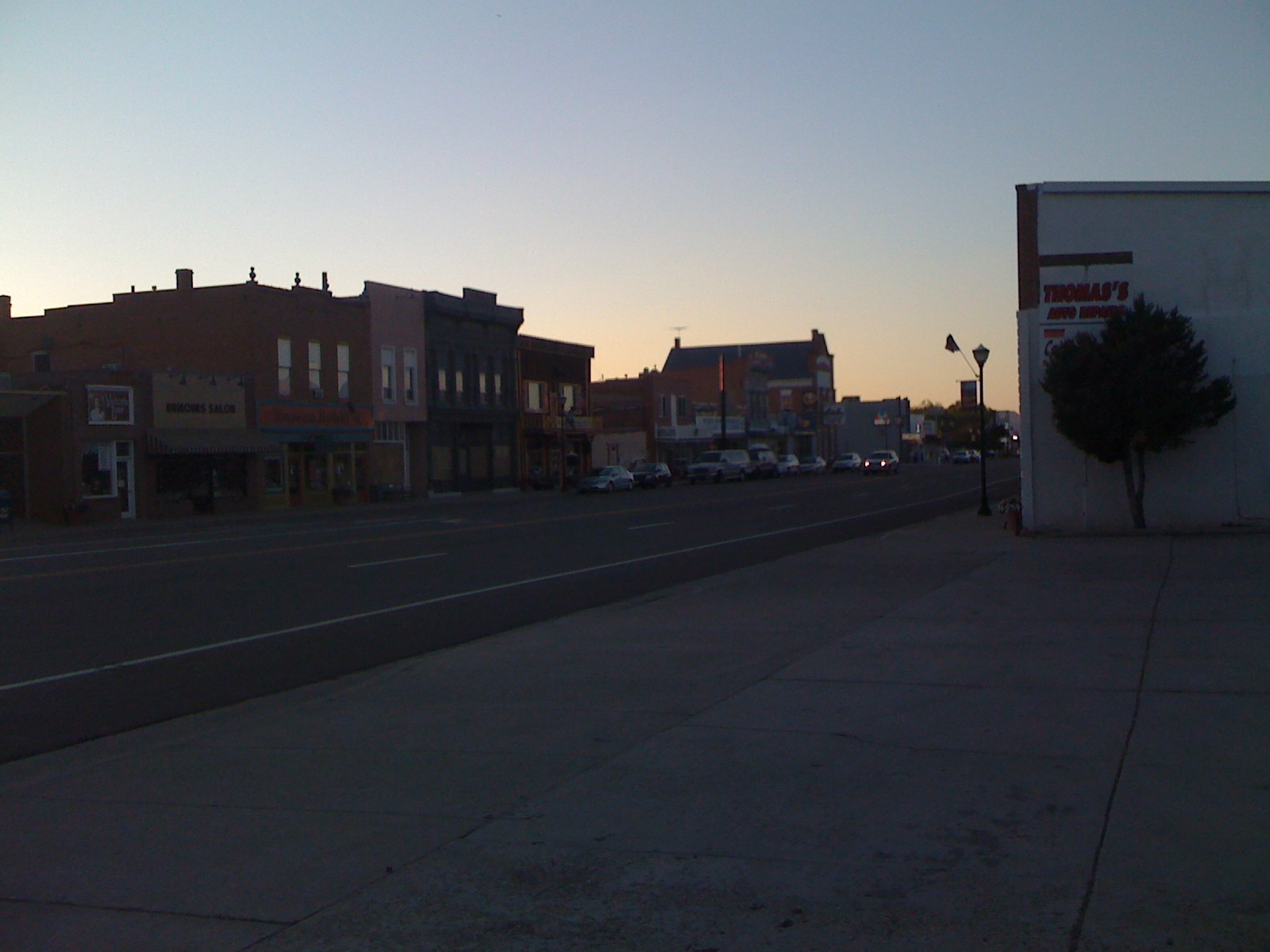
Nevada’s capital city, Carson City, would be the next stop. There were lots of government building to photograph. I noticed the Nevada Commission on Tourism. This was the office that had created the Highway 50 Survival Guide that I was trying to fill out. I had gotten all of the required cities (and even some others in between) except for Fernley which was off the route on the Highway 50 Alternate. I asked the receptionist if she would accept it like that seeing as how I had even made it to the office (instead of mailing it) and she said yes. Jeff, the local who I had met back in Ely and Eureka gave me a call and said he’d meet us for a ride trough the area.

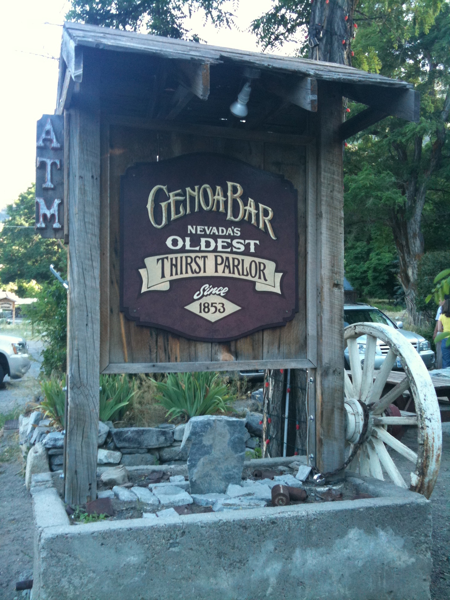
My odometer rolled to the 4000 mile mark and induced a required smoothie stop. Jeff caught us just at the outside of Carson City and rode with us through the rolling hills to the town of Genoa. The market was closed and it was unclear where we’d spend the night. After some phone calls to the Sheriff’s office, we determined that camping was not allowed in either of the two parks in town. Jeff spoke to the fire department and Firechief Bill said it would be fine for us to pitch tents next to the firehouse.

Jeff took us in his Dodge truck to a deli up over the mountains. He treated us to sandwiches and took them to go. We ate them at his home next to beautiful Lake Tahoe. California lined the opposite coast of the lake. We met his wonderful family and playful dog while the sun set behind the mountains. Jeff drove us back town the road to Genoa where we were reunited with the bikes and prepared for tenting.

20110711-092210.jpg20110712-095647.jpg20110712-095701.jpg20110712-095720.jpg20110712-095757.jpg20110712-095837.jpg20110712-095900.jpg20110712-095914.jpg20110712-095933.jpg20110712-100009.jpg20110712-100029.jpg20110712-100054.jpg20110712-100120.jpg20110712-100139.jpg20110712-100402.jpg20110712-100428.jpg20110712-100508.jpg20110712-100551.jpg20110712-100627.jpg20110712-100652.jpg20110712-100712.jpg20110712-100733.jpg20110712-100801.jpg20110712-100843.jpg20110712-100944.jpg20110712-101021.jpg20110712-101039.jpg20110712-101114.jpg20110712-101215.jpg20110712-101356.jpg20110712-101419.jpg20110712-101441.jpg20110712-101604.jpg20110712-101642.jpg

20110712-101852.jpg

Read Full Post »

Day 56


Ride Stats:
Distance: 67.57 miles
Average Speed: 12.6 mph
Max Speed: 29.6 mph
Time: 5:21’35

Breakfast at Cold Springs hit the spot. Pancakes, bacon, eggs, sausage, and cranberry juice. The difficult farewell to the cozy campsite became harder with an overnight flat. Upon close inspection, I discovered that after only 1000 miles, the Specialized All Condition tire is shredded. I would never recommend this tire. It costs around $45, it’s heavy, and it does not last. It did handle well when new but it is way too expensive for having such a short service life.

Once I was back on the road I rolled up to a man walking down the lonely road by himself. Coincidently his name was also Mikey. Mikey left San Francisco and is walking across America. His wife was waiting for him back at Cold Springs for the end of his day. Walkin’ Mikey’s blog is: http://www.mikeywalks.com

I caught up to (biking) Mikey 11 miles down the road. The winds were manageable today so we road steady for most of the day. The only stop along the way was at Middlegate. Images of the famed Shoe Tree lined the inside of the bar there. This tree wore the shoes of many travelers who would make their way down America’s Loneliest Road. A disgruntled husband had cut it down when he discovered his wife was meeting her lover by it’s shade.

We rode past a large dry lakebed. The landscape was similar to that of Groom Lake in Nevada’s Area 51. The surface was dry and supported our weight as we casually moved across the barren surface alongside the barbwire barrier.

The following valley was home to Sand Mountain. This unique oddity was a mountain-sized pile of sand. Cricket from Cold Springs told us that it has been creeping eastbound over the years. It was once on the west side of the road and, because of it’s slow eastbound migration, the road was rebuilt west of the mound.

Fallon, NV was the end of the line for today. Didi had recommended we eat at the Depot Restaurant and Casino which was owned by her family.

At the local Value Inn, we met Tom. He is a senior on a mission. Tom had already gone from Florida to California on his bicycle and is now on his way back east. He shared his blog with us: http://www.thepedalpushsenior.com

Mikey and I have planed to wake up extra early for an attempt at a nightride through the dessert. We felt that it would only be safe to do if there were two of us.

20110710-103634.jpg

20110710-103649.jpg

20110710-103939.jpg

20110710-104035.jpg

20110710-104112.jpg

20110710-104237.jpg

20110710-104256.jpg

20110710-104314.jpg

20110710-104347.jpg

20110710-104550.jpg

20110710-104625.jpg

20110710-104646.jpg

20110710-104717.jpg

20110710-104759.jpg

20110710-104822.jpg

20110710-104850.jpg

20110710-104915.jpg

20110710-104951.jpg

20110710-105120.jpg

20110710-105144.jpg

20110710-105156.jpg

20110710-105208.jpg

20110710-105232.jpg

20110710-105251.jpg

20110710-105426.jpg

20110710-105449.jpg

20110710-105517.jpg

20110710-105530.jpg

20110710-105540.jpg

20110710-105600.jpg

20110710-105651.jpg

Read Full Post »

Day 55


Ride Stats:
Distance: 50.27 miles
Average Speed: 10.7 mph
Max Speed: 34.4 mph
Time: 4:40’47

A friendly couple at a gas station made a donation for a cold drink before leaving town. I left Austin, NV late in the morning. I didn’t have much drive as I went down the hill into the wind. Frequent stops made the afternoon come quick. While I was milking the last bit of cell phone reception out of town, another rider came up behind me. His name is Mikey and was also headed to San Francisco. We rode through the wind together, distracted by the usual rider to rider conversation.

I was really glad to have company in what would have been an extremely agonizing day full of steady headwinds. Mikey is from California and is headed home. He left Massachusetts in late May after graduating.

The scenery was mostly repetitive except for a distant dry lake bed that appeared much closer than it was.

Midway between Austin and Fallon we rode up to what can only be described as an oasis in the desert. Cold Springs Station was an RV campsite with a brand new restaurant and bar. The new building was a result of the old one catching fire just a few years ago. Didi and Cricket welcomed us and charged half of an already low rate to pitch our tents. The restrooms were clean as a whistle and the plot of grass felt like a pillowtop. My dinner was the recommended “Cactus Burger” and Mikey had fish tacos.

Cool desert air came by as soon as the sun went down. A nearby RVer blasted their television at full volume for most of the night while we had dinner and did laundry. Our similar pace and destination made us discuss the possibility of trying something new in the upcoming days.

Mikey’s blog: http://bikeamerica.tumblr.com/

20110709-103025.jpg

20110709-103103.jpg

20110709-103113.jpg

20110709-103125.jpg

20110709-103205.jpg

20110709-103222.jpg

20110709-103310.jpg

20110709-103242.jpg

20110709-103453.jpg

Read Full Post »

Day 54


Ride Stats:
Distance: 75.09 miles
Average Speed: 10.1 mph
Max Speed: 37.9 mph
Time: 7:23’09

I awoke to a tent covered in dew. Joe suggested that I join his group for breakfast. We met up at a small deli operated by Mennonites where I was treated to a delicious breakfast burrito. The filling meal with good company was a great start to the day.

We headed back to the campsite to pack our now dry tents. From left to right in the picture below: Mike, Joe, Joe Sr., and Paul.

Today’s clear skies and flat elevation map along with an early start mislead me into thinking I was off easy. Instead of climbing up and down mountains in the morning, I instead had to row through a ferocious headwind for over 40 miles.

To make matters worse, I had to end the day climbing a double 7000+ ft pass. The windy straightaway slowed me so much that the sun set before I could finish the climb.

Austin, NV was on the other side of the Austin Pass. I made it into town just 20 minutes before the last restaurant closed in order to get dinner. This town is small but is at least recognized as a city. Tomorrow’s ride will be to Middlegate which is hardly recognized by any of the weather or hotel review search engines that I used.

I will post the pictures the next time I have access to wifi.

20110708-110905.jpg

20110708-110929.jpg

20110708-110938.jpg

20110708-110946.jpg

20110708-110957.jpg

20110708-111016.jpg

20110708-111026.jpg

20110708-111007.jpg

20110708-111033.jpg

20110708-111042.jpg

20110708-111050.jpg

20110708-111059.jpg

20110708-111113.jpg

20110708-111124.jpg

20110708-111135.jpg

20110708-111144.jpg

20110708-111443.jpg

Read Full Post »

Day 53


Ride Stats:
Distance: 72.38 miles

Back in Baker, NV, I ran into a group of guys on off road motorcycles. They were having breakfast at the Silver Jack (where I spent the night). I didn’t think I’d see them again since they were headed north to Oregon on dirt and I was headed west on asphalt.

This morning I rolled through Ely to get some goodies at a gas station and saw two familiar dirt bikes parked next to a restaurant. Joe and Mike, two of the riders, waved from inside the window. That wouldn’t be the last I’d see of them either.

My stay at Hotel Nevada was real nice. You can’t beat the price, being only a few bucks more than pitching a tent at the local KOA Kampground. I left town with a clear sunny sky and four mountain passes to climb.

I made quick work of the first one and as soon as I peeked over into the next valley I saw what the forecast had promised: Rain. I rolled downhill and stopped at the 30 mile mark when I saw that the clouds included lightning. Not wanting to dodge bolts like I did the day before, I decided to hitchhike past the storm. A schoolteacher from California whose name I forgot kindly gave me a lift to the reservoir about 5 miles up the road where he would be spending the night. The bike computer was reset while handling the bike so I lost the data except for the distance since I remember hitting 30 (I did not include the miles I sat in the truck). I thanked him for stopping and helping me out and left to make it over the second pass.

I met Daniel, a Parisian tourist, somewhere along this portion of the road. He was taking snapshots while his buddies enjoyed a nap in the car. Just as I was making it to the third pass, I once again spotted, you guessed it, another storm! I saw no lightning in this fluffy mess so I decided to brave it out. This one was cold and made the last miles miserable down to sunset.

The fourth pass was the entrance to Eureka, NV. The only place open at this time was the Owl’s Club and they had food. A rider I had met in Ely earlier that day, Jeff, was inside having dinner. He had driven here, riding when he is in a town on business. We spoke about the route and how he’d done some touring in the past. Jeff treated me to a burger and helped me find a campsite.

Once at the campsite at the edge of town I saw a row of dirt motorcycles lined up. Joe and Mike were surprised to see me as much as I was. They told me that they had been thrown off schedule when one of their buddy’s bikes broke down. Burnt clutch. They had managed to find the replacement part and do some field surgery to get it going but ran out of daylight.

I spent the rest of the night talking to them and washing my wet clothes.

I will post the pictures the next time I have access to wifi.

20110708-123214.jpg

20110708-123229.jpg

20110708-123247.jpg

20110708-123258.jpg

20110708-123324.jpg

20110708-123348.jpg

20110708-123309.jpg

20110708-123356.jpg

20110708-123413.jpg

20110708-123444.jpg

20110708-123427.jpg

20110708-123457.jpg

20110708-123529.jpg

20110708-123538.jpg

20110708-123601.jpg

20110708-123608.jpg

20110708-123618.jpg

Read Full Post »

Day 52


Ride Stats:
Distance: 63.96 miles
Average Speed: 11.6 mph
Max Speed: 38.0 mph
Time: 5:29’31

While checking out of the Silver Jack Motel in Baker I noticed a sign about highway 50. I had heard about a booklet you could fill out through the highway from 3 bikers back outside of Telluride, CO. I asked the motel manager and he stamped a booklet and handed it to me. Nevada’s highway 50, nicknamed as “The Loneliest Road in America” has it’s own survival guide. It’s more like a passport that allows you to collect stamps from the cities along the road. The Nevada Commission on Tourism promises a certificate and a souvenir to commemorate the journey if they receive a completed booklet. The town of Baker is quite remote and not in the list of mandatory stops along the way (those are Ely, Eureka, Austin, Fallon, and Fernley) but it is nice to get it in the book anyway. This side quest is neat, I’ll post the certificate and souvenir once I get it.

Clear skies and gentle breezes up the first pass of the day were pleasant. I made it over the 7000 footer without much hassle and enjoyed the way down. The one place in between Baker and Ely with any service is Majors Junction. I stopped in for lunch and didn’t hesitate to order a cheeseburger (I’ve been on yogurt and candybars for the last 24 hours). Before leaving, a strange call caught my attention. A small goat with the most unique bleat was eager for attention. My new phone can record videos so I’ll post one up once I figure out how to do it on WordPress. [EDIT: Here is the video]


The second 7000 footer was steeper than the first. Dark clouds rolled in before I reached the summit. I threw my jacket on before heading downhill into what has been the worst rain of the journey. Twenty miles worth of Miami-like rain and stubborn crosswinds were my red carpet into Ely, NV. The water-resistant jacket resisted for a few minutes but it could not hold what mother nature had delivered. The sky ahead was a pale gray canvas, stained only briefly by the constant streak of lightning. Those bolts aren’t too scary when you are in a city since there are big thing all around, but it’s a whole ‘nother feeling when you are on a steel bike and the tallest plants around are 2 feet tall in a wide, flat valley.

I rode into Ely desperate for a hot shower. The Motel 6 had the best price in town along with laundry machines. The man ahead of me in line had a gift for the clerk at the front desk. He said it was a bedbug he had pulled out of his ear whose family he found all over the underside of his mattress. He had to get it pulled out by his doctor who was now treating the inflammation. That was enough of a review for me to hightail it out of there. Almost all of the places in town were booked. I spent several minutes inside a TacoTime shivering in my soaked clothes and calling different motels and hotels and finally found the Historic Hotel Nevada & Gambling Hall. They had a non smoking room available at a steal of a price.

I made my way there with the last degrees of body-warmth that I had left. They offered biker discounts but nothing for those of us without motors. I’ll need to find a laundromat now that everything is dirty and hope for no rain in the next few days.

Thanks to Daus S., Kenny C., and Catalina E. for their donations.

20110706-081702.jpg20110706-081731.jpg20110706-081743.jpg20110706-081802.jpg20110706-081810.jpg20110706-081819.jpg20110706-081845.jpg20110706-081859.jpg20110706-081913.jpg20110706-082023.jpg20110706-082032.jpg20110706-082432.jpg

20110706-082606.jpg

20110706-082727.jpg

Read Full Post »

Day 51


Ride Stats:
Distance: 85.45 miles
Average Speed: 11.4 mph
Max Speed: 33.7 mph
Time: 7:26’20

Touring is not a vacation. It is not easy. Loaded bikes weigh a ton, the weather is unpredictable, winds are usually unfavorable, destinations are mandatory at times, and if you’re not pushin’, you ain’t goin’ nowhere. It is, however, extremely rewarding especially in hindsight.

My time schedule has been thrown off with all that has occurred in the last few days. I left Milford, UT at around 11 am knowing that I would be cutting it close since today was an 85 mile ride with nothing in between. I felt weak from the mountain pass I had ridden two days prior. only 9 miles outside of town I rolled up next to a cowboy named Johnny Warnshuis. Johnny had been on the road for over 3 months with his dog and two horse caravan (one for him, the other for the gear). We traded info and spoke about what we had ahead. Check out his page at:

www.cowboyforacure.webs.com

Today’s ride had 3 6000+ ft climbs. I noticed rain clouds ahead just after passing the first climb. A lone tree in this sea of sagebrush was my shelter for this storm. I fell asleep for about half an hour while the brunt of the rain went by. The rain would not let up for the rest of the day, ranging from a light drizzle to a steady yet modest shower.

The road through this area is remarkably straight. The shots I took from the center of the road look like it goes on for just a short distance but in reality the road continues for about 16 miles. This visual effect is very deceiving and makes the gap between the mountains seem much shorter than it really is, and with the antagonizing rain, it is very demoralizing.

Once over the third pass the sun, of which I caught only glimpses of blue sky in distant cloud openings, was already going down. The rain finally let up and I got a fresh burst of energy. The last 35 miles made up for the rest of the gloomy day. The sky never did clear up but as the light faded into night it no longer mattered.

I reached Nevada in the black of night. The sign for Pacific Time was another treat I had not been expecting. When I finally rolled into the town of Baker, NV I wasn’t sure where to go. I had read on the map that there were two motels but with no light, no reception, and being covered in soaked clothes in a cold night made navigating difficult. Luckily I ran into a building with a vacancy sign. This was more of a café with two trailers behind it with separate rooms. There were no night time check in instructions so I walked around looking for someone that might be able to help. One of the rooms had a light on so I knocked. The man at the door was just a guest and did not know how to get a hold of the owner (the rooms didn’t have phones). I kept walking and discovered a pair of shoes on the welcome mat of the last room. Surely only someone who cares about the establishment would be responsible for that. I was right.

I woke Terry, the owner, from his slumber and walked over to the front office. He rang me up for the room and a tub of yogurt. When I got to the room I found it had not been cleaned by the maids. Terry had to go get another key. The second room was dressed properly. It was a small room with very low ceilings. There is no TV nor telephone. The wifi didn’t reach all the way back here either.

I had made it to Baker on one of those days which seemed impossible. Tomorrow’s ride to Ely is another with no services. This time there are only two major climbs but they are over 7000 ft each (Baker is at around 5000 ft so the elevation gain is over 4000 ft).

20110706-102425.jpg

20110706-102357.jpg

20110706-102535.jpg

20110706-102605.jpg

20110706-102622.jpg

20110706-102632.jpg

20110706-102823.jpg

20110706-102833.jpg

20110706-102846.jpg

20110706-102856.jpg

20110706-103044.jpg

20110706-103057.jpg

20110706-103108.jpg

20110706-103116.jpg

20110706-103130.jpg

20110706-103144.jpg

20110706-103153.jpg

20110706-103203.jpg

20110706-103212.jpg

20110706-103221.jpg

20110706-103325.jpg

20110706-103338.jpg

Read Full Post »

Day 50


Ride Stats:
Distance: 57.55 miles
Average Speed: 15.4 mph
Max Speed: 41.2 mph
Time: 3:44’02

Today’s ride was easy from Cedar City. I woke up at 11 am since I had finished as late as ever the night before. There was a climb to just over 6000 ft but it was exceptionally gradual and was followed by a downward slope to the town of Milford, UT. I could not go further because I am now on highway 21. The next stretch is 85 miles with no services and I will need an entire day to do that.

Firework rumble is heard from the computer room in the motel. Daniel and his family from Texas were kind enough to lend me their laptop to be able to activate my replacement phone. My old one was living through it’s final days and I could not risk going into the vast nothing that is eastern Nevada with something so frail.

Happy 235th birthday, America.

Read Full Post »

Day 49


Ride Stats:
Distance: 62.05 miles
Average Speed: 10.2 mph
Max Speed: 40.0 mph
Time: 6:03’20

Sewing up the panniers is becoming routine. Another tear faced me in the morning while getting out of the tent. Readying my things at the KOA campground in the morning sparked a conversation with a pair of motorcycle riders headed to Yellowstone. Although they were in persuit of sights, they had not ventured into any of the parks like Bryce or Grand Staircase. Hurrying to get on with their ride, they beat me out of the campground.

Gooseberry pass was my goal for the day. Leaving Panguitch before noon seemed like a good idea, giving me several daylight hours to get over the summit. Although there were about 40 miles of climbs ahead, I set out with a spirited pace since the weather was nice and the slopes were mild. Daylight stayed strong as I made it to Panguitch Lake about midway to Gooseberry. Yielding only to casting fishermen, I rode up to the lake. Sadly, I had no time to join them at an attempt to pull a trout out of the waters.

Rain clouds slid over the mountain peaks as I neared the Cedar Breaks National Monument. Piles of snow shoed the trees at the highest altitudes. The cold rain began as a refreshing drizzle and then reintroduced itself as gatekeeper of the mountain pass. Temperatures plummeted before I could get to the summit. I found refuge from the rain in a park restroom and found warmth in a hot air hand drier. A family from California offered shelter in their RV in case the skies didn’t let up but just as we had acquainted ourselves, light from the west broke through the clouds. I thanked them for their offer and took off for the summit, not knowing how long my window would be open.

The rain made one brief and final appearance as I rounded the summit. Ice had glazed the roads so the ride down was done through the brake rotors. Vapors arose from the asphalt revealing the vast valley behind the tree line. I was not able to capture much from Cedar Breaks because of the weather but it is another uniquely magical canyon. The bright red rock is outlined by the rich greenery fed by the hilltop rains on the east side. The west portion has lightly colored stone with even more foliage.

I ended the day at the base of the descent in Cedar City, UT. I’ve reached the end of the Western Express Section 3 map and will soon head to highway 50 in Nevada, dubbed the “Loneliest Road in America”.

Thanks to Maria T. and Alain M. for donating today.

20110704-125331.jpg

20110704-125350.jpg

20110704-125406.jpg

20110704-125427.jpg

20110704-125447.jpg

20110704-125514.jpg

20110704-125538.jpg

20110704-125553.jpg

20110704-125608.jpg

20110704-125625.jpg

20110704-125646.jpg

20110704-125704.jpg

20110704-125724.jpg

20110704-125742.jpg

20110704-125802.jpg

20110704-125820.jpg

20110704-125839.jpg

20110704-125900.jpg

Read Full Post »

Day 48


Ride Stats:
Distance: 70.55 miles
Average Speed: 10.7 mph
Max Speed: 47.9 mph
Time: 6:32’26

I was given breakfast by a big group camping near my tent. I don’t remember exactly but I think they said they were from Utah, just camping out to see Calf Creek in Grand Staircase.

The scenery west of Escalante was back to farm and ranch land. I rode through that for some time till I hit the west part of Grand Staircase again (remember this park is 1.9 million acres). The steep grades took me into Cannonville and Tropic. Both of these towns run on the tourism from all of the surrounding parks.

Today’s memorable moments come from Bryce Canyon National Park. The orange pillars quickly came into view as I left Tropic. The road revealed a turnout filled with tourists, cars, and RV’s. I stopped and asked what all the fuss was about and a lady told me that there is a half mile hike to see a waterfall and cave. I rode the Raleigh in as far as I could and parked it by a bridge. The roar from the waterfall was an enticing sound and I finally caught a glimpse of it. My phone has been acting up so I have some of the shots on the digital camera (they will get uploaded when I get access to a PC). The path leads all the way to the top of the waterfall. My balance is a bit out of whack, proven by my slip from a log while crossing to the other side of the falls. Now with wet shoes, I made my way up a steep path up to the iconic rock formations (that is where the close up shots are taken from). Visitors were crawling all over the area like roaches at a bad motel (how would I know?). I wrung out my socks and hopped back on the saddle. Bryce is a long park from north to south but surprisingly short from east to west so when I was done climbing an 8% grade I found myself out of the park.

Highway 12 has been my route since Torrey but near a 7k ft summit outside of Bryce, bicycles are forced off the highway and onto a bike path. The path was nearly vacant so I was able to swing around it’s curvy route nearly parallel to the highway. The steep grade signs are quite comical with a bike pictured instead of a truck. The path went into Red Canyon where bright red rock formations line the road.

The final stretch of the day was to Panguitch, UT. I decided to camp at a KOA Kampground since I’ve heard great things about them. The price is almost that of a cheap motel but at this point I need to save a much as possible.

I realize it’s nearing Independence Day with all of the racket from the amateur fireworks.

Thanks to Milo F. for the donation.

20110702-105204.jpg20110702-105229.jpg20110702-105255.jpg20110702-105947.jpg20110702-105848.jpg20110702-105927.jpg20110702-105908.jpg20110702-110005.jpg20110702-110028.jpg20110702-110116.jpg20110702-110052.jpg

20110702-110140.jpg

20110702-110207.jpg

20110702-110534.jpg

20110702-110551.jpg

20110702-110610.jpg

20110702-110630.jpg

20110702-110656.jpg

20110702-110840.jpg

20110702-110733.jpg

20110702-110820.jpg

20110702-110914.jpg

20110702-110936.jpg

20110702-110957.jpg

20110702-111016.jpg

20110702-111029.jpg

20110702-111144.jpg

20110702-111205.jpg

20110702-111344.jpg

20110702-111616.jpg

20110702-111947.jpg

20110702-111734.jpg

20110702-112156.jpg

20110702-112216.jpg

20110703-085922.jpg

20110703-085945.jpg

20110703-090111.jpg

20110703-090249.jpg

20110703-090315.jpg

20110703-090401.jpg

20110703-090343.jpg

Read Full Post »

« Newer Posts - Older Posts »